Texas Integrated Flood Framework (TIFF)
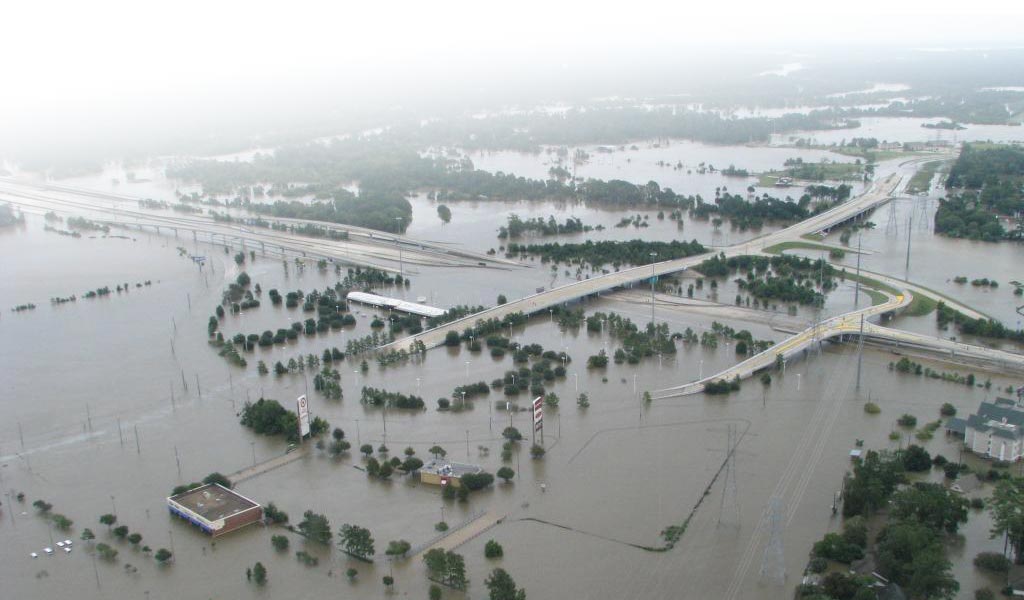
To support proactive state and regional flood planning efforts, it is essential that decision-makers across Texas have access to clear, accurate, and accessible flood-risk data. The TIFF Map Viewer was developed to provide an intuitive interface for exploring coastal flood risks and relevant data layers—combining storm surge, rainfall, and riverine flooding models in a single, integrated platform.
This viewer is a key component of the TIFF project, established in 2020 and funded by the Texas General Land Office through the Community Development Block Grant Disaster Recovery (CDBG-DR) Program. Led by the Texas Water Development Board (TWDB) in collaboration with the U.S. Geological Survey (USGS) and the U.S. Army Corps of Engineers – Galveston District, the TIFF project equips communities with critical tools and compound flood-risk data to support mitigation and resilience planning along the Texas Gulf Coast.
What the Map Viewer Offers
- Interactive access to compound flood-risk information (riverine + storm surge).
- Tools to explore flood model layers across spatial and temporal scales.
- Support for regional flood planning efforts through open and centralized data.
- A visual interface designed to enhance risk communication for decision-makers, planners, and the public.
Click the "Layers" tab to select products.
Map Layers
Legend